Daggerfall:Maps
The UESPWiki – Your source for The Elder Scrolls since 1995
Contents
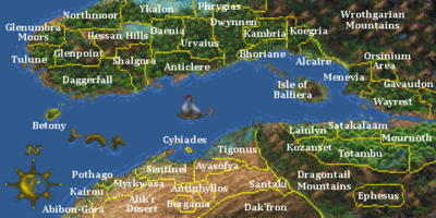
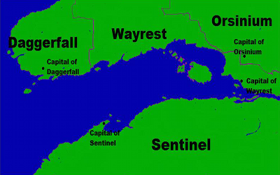
Map of Iliac Bay[edit]
A map of the Iliac Bay region showing the names of the various regions.
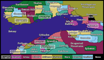
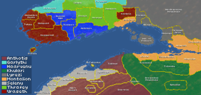
Temples and Knights[edit]
A map of the Iliac Bay indicating the dominant Temple of each region and the locations of Knightly Orders.
Political Views[edit]
A political map of the Iliac Bay.
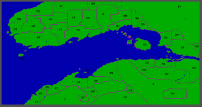
Iliac Bay Regions[edit]
A map of the Iliac Bay showing the Daggerfall region codes.
This concept map shows Daggerfall regions at the end of the game.
Vampire bloodlines[edit]
A map of the Iliac Bay showing the territory of each vampire bloodline.
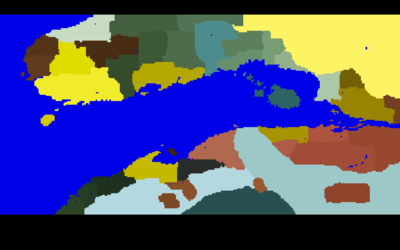
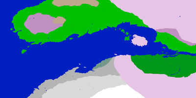
Climate Regions[edit]
A map of the Iliac Bay showing the Daggerfall climate regions using a color code.
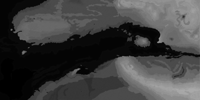
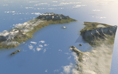
Iliac Bay Heightmap[edit]
A digitally enhanced heightmap of the Iliac Bay.
A concept map showing the Iliac Bay in 3D relief. Original from the DaggerXL project.
