File:User-Donkeyb39-Akavir map.png
The UESPWiki – Your source for The Elder Scrolls since 1995

Size of this preview: 725 × 600 pixels. Other resolution: 1,000 × 827 pixels.
Original file (1,000 × 827 pixels, file size: 496 KB, MIME type: image/png)
This file has been proposed for deletion because of the following concern:
If you can address this concern by improving the file, please edit this page and do so. You may remove this notice if you improve this file or object to this deletion for any reason. To avoid confusion, please explain why you contest the deletion on your edit summary and on this page's talk page. Administrators, don't forget to check the page history (last edit), what links here, and the abuse filter log before deletion. This page was last modified on 2024/02/19. |
Summary[edit]
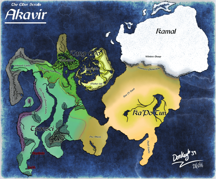
My Interpretation of akavir, used lore videos to try and interpret my own vision of the continent.
Licensing[edit]
| This file is ineligible for copyright and therefore in the public domain, because it consists entirely of information that is common property and contains no original authorship. |
File history
Click on a date/time to view the file as it appeared at that time.
| Date/Time | Thumbnail | Dimensions | User | Comment | |
|---|---|---|---|---|---|
| current | 20:07, 1 January 2017 | | 1,000 × 827 (496 KB) | Donkeyb39 (talk | contribs) | My Interpretation of the Akavir Continent based on various youtube lore videos. Origional Upload ( http://donkeyb39.deviantart.com/art/Akavir-Map-653839124 ) |
| 20:02, 1 January 2017 |  | 3,452 × 2,853 (5.14 MB) | Donkeyb39 (talk | contribs) | My Interpretation of akavir, used lore videos to try and interpret my own vision of the continent. |
- You cannot overwrite this file.
File usage
This file is not embedded on any pages. Please check What Links Here for other links to this file.